Sydney's Metro Expansion Is Changing Journeys, but Not Every Commute at Once
Metro West has finished its tunnels and is targeting 2032. The practical question for commuters is what is open today, what remains under construction and how transfers will work.
 Harbour Creative Team
2 min read
Harbour Creative Team2 min read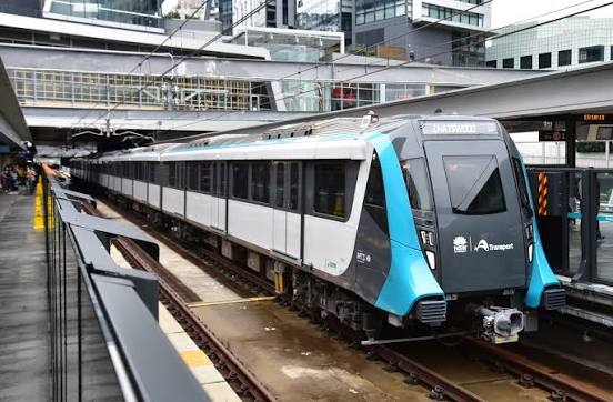
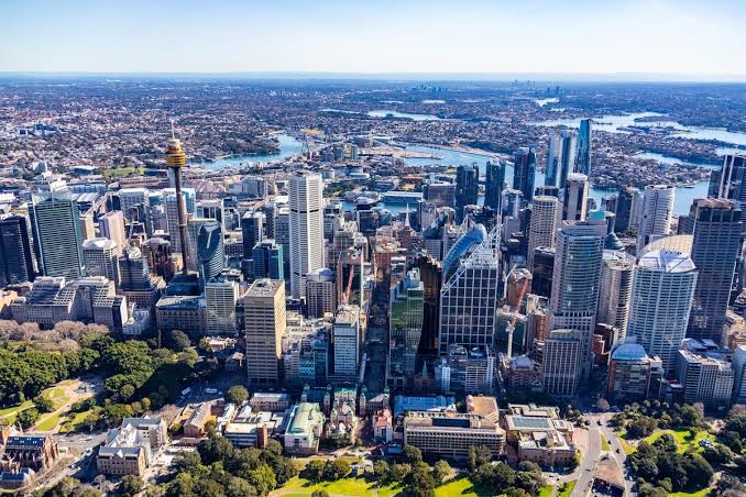
Sydney's transport network is being reshaped by new underground railways, but a finished tunnel is not the same as a passenger service. That distinction matters when residents hear that an important project has reached a milestone and assume a new journey is already possible.
Sydney Metro West finished its major tunnelling program in March 2026. The project still requires station construction, rail systems, testing and operational readiness before passengers can use it. The official target for opening is 2032.
The line between Parramatta and the CBD
Metro West is planned as a 24-kilometre underground railway connecting Westmead and Parramatta with Sydney Olympic Park, North Strathfield, Burwood North, Five Dock, The Bays, Pyrmont and Hunter Street in the CBD. For some destinations this could shorten journeys and offer access that is not currently available by direct rail.
The timetable, station access and interchange design matter as much as the map. A station serving a large district may still be a considerable walk or bus ride from a household's front door.
What commuters can use now
Sydney already has operational Metro services and conventional rail routes. Travel on those services should be planned using today's routes, service notices and trackwork rather than drawings of the future network.
If your regular journey requires a change at a rail or Metro station, check whether the platforms and entrances are co-located. Stairs, lifts, street crossings and bus connections affect the real door-to-door time, especially for older passengers, people using mobility aids and parents travelling with prams.
The neighbourhood impact happens before opening day
Construction can mean utility relocations, changed footpaths, heavy-vehicle movements and temporary traffic restrictions. Near a future station, the surrounding planning system may also encourage more housing and commercial activity. That could bring more shops and people, but also debate over noise, congestion and public space.
Readers assessing a move to Parramatta, North Sydney or Marrickville should distinguish the operational network from projects still under way. The best test is the actual journey available on the day you need to make it.
Sources and method
This article is original desk analysis drawing on published data and official records. It does not claim first-hand interviews, site inspections or independently collected survey results. The figures and statements should be read against the linked source material.
About this article
This article provides analysis and interpretation of available information. Sources and supporting material, where applicable, are linked within the article.
Found an error? Contact the editorial desk. See our editorial standards and corrections policy.
From the Harbour Creative Blogs archive
Keep exploring this story
Related reporting, people and places from our published coverage. These are editorial connections, not a popularity ranking.
Local coverage
Sydney
The business, communities, housing, transport, sport and public decisions affecting metropolitan Sydney.
Organisation
NSW Government
Government decisions affecting services, planning and households across New South Wales.
Local coverage
Parramatta
Developments, business and sport affecting Parramatta and its surrounding suburbs.